GIS - Geographical Map 
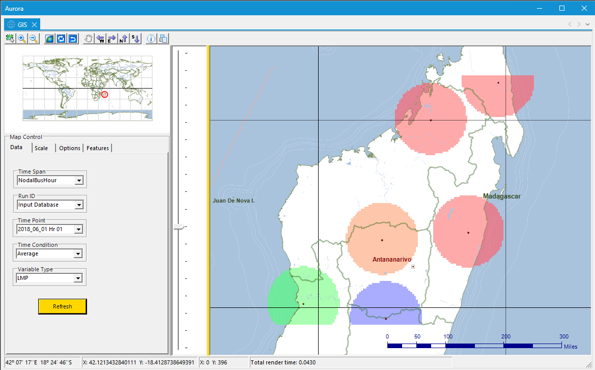
Use Aurora's Geographic Information System (GIS) feature to view locational pricing and other nodal study information. The values are mapped geospatially in varying colors depending on data value level.
For more detailed resource information, use the Info button to view a data grid that shows the Locational Marginal Price (LMP), capacity (in MW), and other details, of the buses at a particular generator.
![]() NOTE: The GIS can only be used with SQL Server, MySQL and xmpSQL output types. The limitation exists because of the large amount of data handling required with GIS. For best results, limit the number of hours run in the study.
NOTE: The GIS can only be used with SQL Server, MySQL and xmpSQL output types. The limitation exists because of the large amount of data handling required with GIS. For best results, limit the number of hours run in the study.
![]() NOTE: GIS maps only show nodal study mapping. o zonal data is displayed.
NOTE: GIS maps only show nodal study mapping. o zonal data is displayed.
Data regions within the GIS window can be adjusted by clicking and dragging the splitter bars.
The GIS Toolbar provides quick access to the most frequently used functions.
![]()
GIS - Map Controls
The GIS Map Controls box is used to control mapping features and update locational prices. The Map Controls box has four (4) tabs to adjust various settings.
 Productivity Tools
Map Controls
GIS